
This page may contain affiliate links. As an Amazon Affiliate, I earn on qualifying purchases. Please see our disclaimer for more information.
Over the 4th of July weekend we took a scenic drive. The drive started with Chief Joseph Scenic Highway which is outside of Cody, Wyoming. This part of the drive follows parts of the route taken by Chief Joseph as he led the Nez Perce tribe out of Yellowstone while being forced to leave the Wallowa Valley. The picture below is a rock I liked the looks of. There was no place to pull over to take a picture so it was an “out the window while driving” picture.

This is the bridge over the Clark’s Fork of the Yellowstone where Chief Joseph Highway crosses the river. If you squint, you can see Joe and Christopher in the middle of the bridge.

And this is the river. It’s a long ways down!

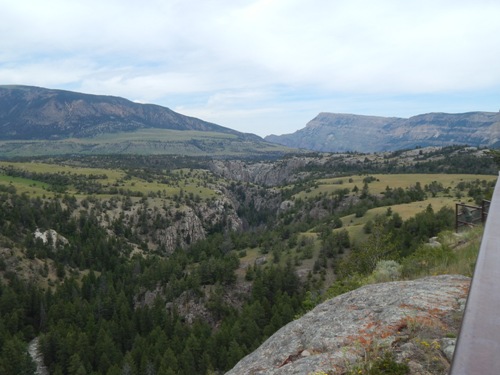
This is Clark’s Fork Canyon. It was through the Clark’s Fork Canyon in 1877 that Chief Joseph and the Nez Perce Indians traveled when fleeing the Calvary.
This is a rock I liked the looks of across the road from the river stop. 🙂 We really enjoyed this stop at the river. There is a nice little pull out area. There aren’t picnic tables but there are places to sit on rocks and enjoy a picnic. Which is what we did! There are also vault toilets.
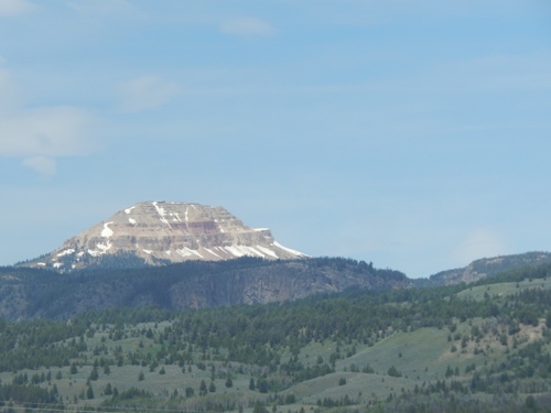
Still on Chief Joseph Highway, I liked the looks of this mountain.
And here is my cute little guy enjoying the ride.

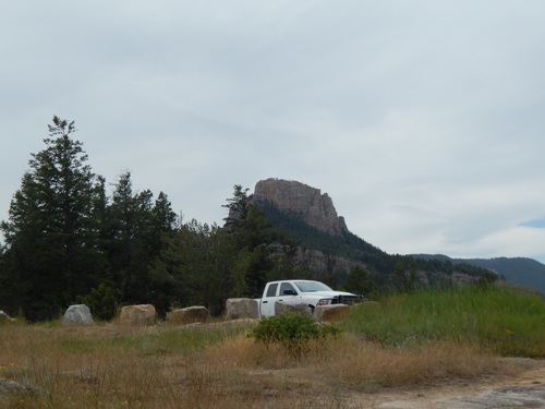
Bear Tooth Mountain. What an interesting shaped mountain!
Chief Joseph Highway connects to Beartooth Highway. Beartooth Highway is considered one of the most scenic drives in the United States. It was beautiful! It also has some considerable elevation. My map said the summit was over 10,500 feet. There were quite a few people on this portion of the drive and it was hard to stop for pictures since many of the pull-outs were full. One thing I wish I could have taken pictures of were the amazing waterfalls. This website does have pictures of different waterfalls in the area.
There was still a lot of snow in the meadows and many of the lakes still had ice on them. It was 62 degrees when we were up there but I do believe they had closed the road in the middle of June for a day or two due to snow. There were a couple of very steep slopes that people were skiing down. One they were hiking back up but the other we saw had a tow rope.

The road was also quite curvy in places. It’s not bad in this photo but there was a stretch of about 5 miles that left me feeling pretty queasy.

Beartooth highway comes out at Red Lodge, Montana. Red Lodge is a cute little town and was very busy over the holiday. We’d love to take this drive again and do some hiking. There are many trails. There are also lots of campgrounds. Most of the drive is through National Forest. I highly recommend this driving loop if you ever have the opportunity to take it. The entire loop did take us about four and a half hours so allow yourself some time.